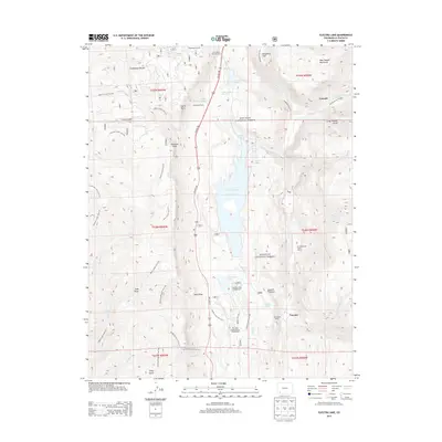
2013 Map of Electra Lake
USGS Topo · Published 2013About this map
Electra Lake sits as a central reservoir within the San Juan National Forest, surrounded by a complex network of canyons and high-elevation terrain. This 2013 survey documents the recreational and ranching character of the region, where the Animas River cuts through the eastern edge of the quadrangle. Private landholdings and commercial outposts like Columbine Ranch, Tall Timber Resort, and Ah Wilderness Trail's Ranch appear alongside public facilities such as the Chris Park Organizational Campground and Haviland Lake Campground.
Find a feature on this map
59 named features on this map. Tap any name to fly to it.
Don’t see what you’re looking for? This feature index may not catch every label — zoom into the map to look around manually.
Map Details
Editions of this 2013 Electra Lake Map
This is the sole edition of this map. No revisions or reprints were ever made.
Other maps of this area

1898 · Durango
USGS Topo · 1:62,500

1898 · Engineer Mountain
USGS Topo · 1:62,500

1900 · Engineer Mountain
USGS Topo · 1:62,500

1900 · Needle Mountains
USGS Topo · 1:62,500

1902 · Needle Mountains
USGS Topo · 1:62,500

1907 · Durango
USGS Topo · 1:62,500

1908 · Engineer Mountain
USGS Topo · 1:62,500

1908 · Ignacio
USGS Topo · 1:125,000

1908 · Durango
USGS Topo · 1:62,500

1924 · Ignacio
USGS Topo · 1:125,000