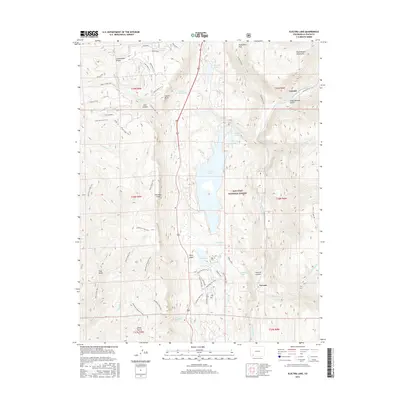
2016 Map of Electra Lake
USGS Topo · Published 2016About this map
Electra Lake and the Animas River corridor dominate this portion of the San Juan National Forest north of Durango. The landscape is defined by massive geological features, from the towering Hermosa Cliffs to the Continental Divide and the West Needle Mountains in the northeast. Small settlements like Tacoma and Cascade are situated along the river valley, serving as focal points for the region's recreation and mountain utility infrastructure.
Find a feature on this map
64 named features on this map. Tap any name to fly to it.
Don’t see what you’re looking for? This feature index may not catch every label — zoom into the map to look around manually.
Map Details
Editions of this 2016 Electra Lake Map
This is the sole edition of this map. No revisions or reprints were ever made.
Other maps of this area

1898 · Durango
USGS Topo · 1:62,500

1898 · Engineer Mountain
USGS Topo · 1:62,500

1900 · Engineer Mountain
USGS Topo · 1:62,500

1900 · Needle Mountains
USGS Topo · 1:62,500

1902 · Needle Mountains
USGS Topo · 1:62,500

1907 · Durango
USGS Topo · 1:62,500

1908 · Engineer Mountain
USGS Topo · 1:62,500

1908 · Ignacio
USGS Topo · 1:125,000

1908 · Durango
USGS Topo · 1:62,500

1924 · Ignacio
USGS Topo · 1:125,000