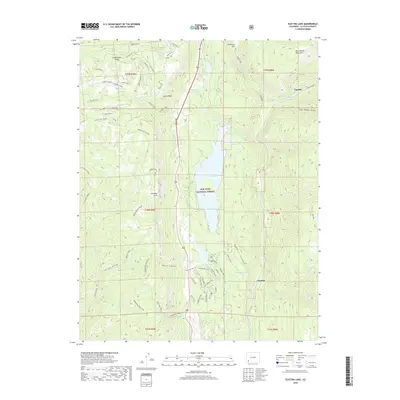
2019 Map of Electra Lake
USGS Topo · Published 2019About this map
Electra Lake dominates the central basin of this high-elevation landscape within the San Juan National Forest, where steep vertical drops define the local geography. To the west, the Hermosa Cliffs rise sharply above the Dutch Creek drainage, while the northeast corner reaches the Continental Divide. The settlement of Tacoma is situated at the base of Sawmill Canyon, strategically positioned near the Animas River and Forebay Lake. This area shows a complex network of recreational and access infrastructure, including the Pinkerton-Flagstaff route and various forest trails like Waterdog Trot and Miners Trace. The map also captures several smaller alpine water bodies such as Ignacio Lake, Aspaas Lake, and Hotter Brothers Lake, reflecting the glaciated history of the West Needle Mountains.
Find a feature on this map
62 named features on this map. Tap any name to fly to it.
Don’t see what you’re looking for? This feature index may not catch every label — zoom into the map to look around manually.
Map Details
Editions of this 2019 Electra Lake Map
This is the sole edition of this map. No revisions or reprints were ever made.
Other maps of this area

1898 · Durango
USGS Topo · 1:62,500

1898 · Engineer Mountain
USGS Topo · 1:62,500

1900 · Engineer Mountain
USGS Topo · 1:62,500

1900 · Needle Mountains
USGS Topo · 1:62,500

1902 · Needle Mountains
USGS Topo · 1:62,500

1907 · Durango
USGS Topo · 1:62,500

1908 · Engineer Mountain
USGS Topo · 1:62,500

1908 · Ignacio
USGS Topo · 1:125,000

1908 · Durango
USGS Topo · 1:62,500

1924 · Ignacio
USGS Topo · 1:125,000