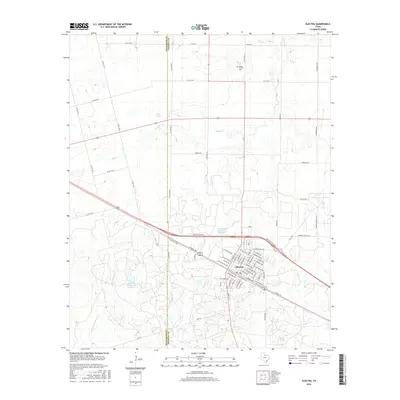
2016 Map of Electra
USGS Topo · Published 2016About this map
Electra serves as the primary hub on this North Texas prairie, where the local street grid fans out north of the major transportation corridor following the Hwy 287 Access Rd. The landscape is defined by the ranching and resource management of the region, anchored by significant water features like Waggoner Estate Lake Number 1 and Waggoner Ranch Lake Number 7. These man-made reservoirs, along with various creek systems such as China Cr and Buffalo Cr, reflect the vital importance of water storage in this part of Wichita County.
Find a feature on this map
71 named features on this map. Tap any name to fly to it.
Don’t see what you’re looking for? This feature index may not catch every label — zoom into the map to look around manually.
Map Details
Editions of this 2016 Electra Map
This is the sole edition of this map. No revisions or reprints were ever made.
Other maps of this area
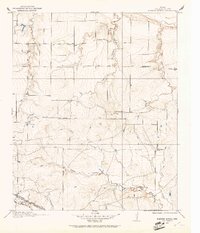
1915 · Barwise School
USGS Topo · 1:24,000
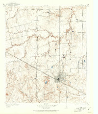
1916 · Electra
USGS Topo · 1:24,000
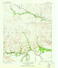
1916 · Fowlkes
USGS Topo · 1:24,000
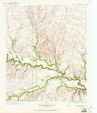
1917 · Beaver Creek
USGS Topo · 1:24,000
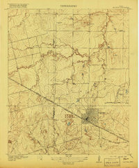
1918 · Electra
USGS Topo · 1:31,680
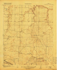
1918 · Barwise School
USGS Topo · 1:31,680
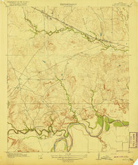
1919 · Fowlkes
USGS Topo · 1:31,680
1920 · Beaver Creek
USGS Topo · 1:31,680
1954 · Wichita Falls
USGS Topo · 1:250,000
1955 · Lawton
USGS Topo · 1:250,000