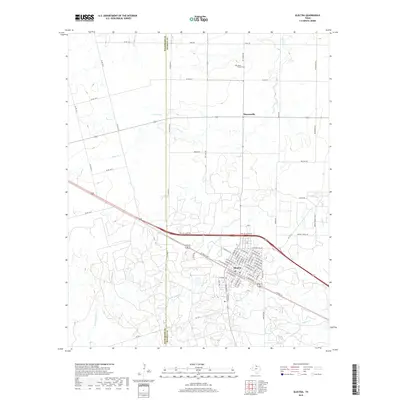
2019 Map of Electra
USGS Topo · Published 2019About this map
Electra serves as the primary hub of this North Texas landscape, where the street grid is tightly organized around the central Industrial Park and highway corridors. To the north, the small settlement of Haynesville and the Mount Carmel Cem mark the transition toward the agricultural plains that straddle the Wilbarger Co Wichita Co line. The terrain is defined by a dense network of seasonal drainages, including China Cr, Buffalo Cr, and the multiple forks of Bluff Creek, which carve subtle patterns into the prairie.
Find a feature on this map
50 named features on this map. Tap any name to fly to it.
Don’t see what you’re looking for? This feature index may not catch every label — zoom into the map to look around manually.
Map Details
Editions of this 2019 Electra Map
This is the sole edition of this map. No revisions or reprints were ever made.
Other maps of this area
1915 · Barwise School
USGS Topo · 1:24,000
1916 · Electra
USGS Topo · 1:24,000
1916 · Fowlkes
USGS Topo · 1:24,000
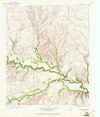
1917 · Beaver Creek
USGS Topo · 1:24,000
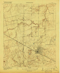
1918 · Electra
USGS Topo · 1:31,680
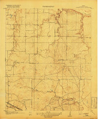
1918 · Barwise School
USGS Topo · 1:31,680
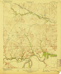
1919 · Fowlkes
USGS Topo · 1:31,680
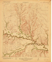
1920 · Beaver Creek
USGS Topo · 1:31,680
1954 · Wichita Falls
USGS Topo · 1:250,000
1955 · Lawton
USGS Topo · 1:250,000