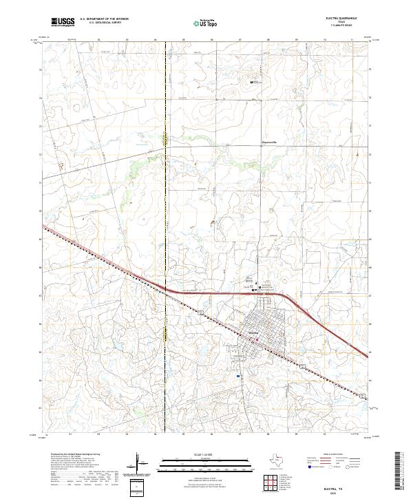
2022 Map of Electra
USGS Topo · Published 2022About this map
The city of Electra sits at the heart of this landscape, its residential grid defined by streets like W Michigan Ave and E Lincoln Ave that flank the central corridor of W Front Ave. The town’s history is anchored by a cluster of four distinct burial sites on its northern edge, including Old Electra Memorial Cem, New Electra Memorial Cem, and Electra Memorial Park Cem. To the north, the small settlement of Haynesville remains a notable waypoint near the intersection of Old Lake Rd and E Lalk Rd.
Find a feature on this map
55 named features on this map. Tap any name to fly to it.
Don’t see what you’re looking for? This feature index may not catch every label — zoom into the map to look around manually.
Map Details
Editions of this 2022 Electra Map
This is the sole edition of this map. No revisions or reprints were ever made.
Other maps of this area

1915 · Barwise School
USGS Topo · 1:24,000

1916 · Electra
USGS Topo · 1:24,000

1916 · Fowlkes
USGS Topo · 1:24,000

1917 · Beaver Creek
USGS Topo · 1:24,000

1918 · Electra
USGS Topo · 1:31,680

1918 · Barwise School
USGS Topo · 1:31,680

1919 · Fowlkes
USGS Topo · 1:31,680

1920 · Beaver Creek
USGS Topo · 1:31,680

1954 · Wichita Falls
USGS Topo · 1:250,000

1955 · Lawton
USGS Topo · 1:250,000