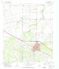
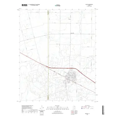
1991 Map of Electra
USGS Topo · Published 1995About this map
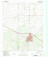
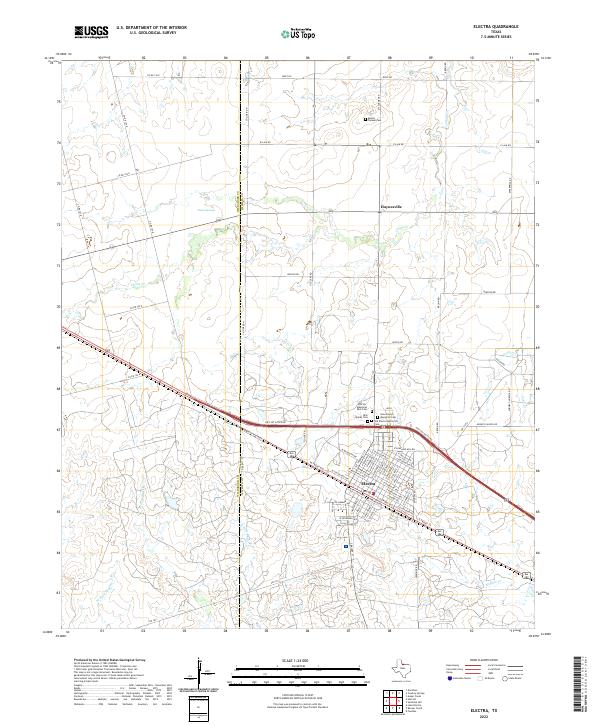
Electra Field and the surrounding prairie landscapes of the Wilbarger and Wichita County line dominate this 1991 survey. The city of Electra is the primary hub, showing a dense street grid including Waggoner Ave and Wilbarger Ave, anchored by the Dinsmore Sch, High Sch, and a local Rodeo Ground. To the north lies the small settlement of Haynesville (Punkin Center), while the surrounding countryside is heavily marked by energy production, including numerous Oil Wells, Gas Wells, and a Gasoline Plant.
Find a feature on this map
40 named features on this map. Tap any name to fly to it.
Don’t see what you’re looking for? This feature index may not catch every label — zoom into the map to look around manually.
Map Details
Editions of this 1991 Electra Map
This is the sole edition of this map. No revisions or reprints were ever made.
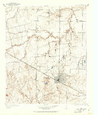
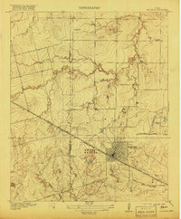
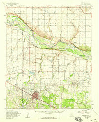
Historical Maps of Electra Through Time
10 maps found
1916 Electra
Wichita County, TX
1918 Electra
Wichita County, TX
1958 Electra
Wichita County, TX
1972 Electra
Wichita County, TX
1991 Electra
Wichita County, TX
2010 Electra
Wichita County, TX
2012 Electra
Wichita County, TX
2016 Electra
Wichita County, TX
2019 Electra
Wichita County, TX
2022 Electra
Wichita County, TX