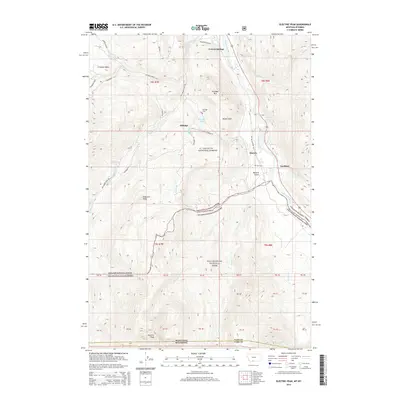
2014 Map of Electric Peak
USGS Topo · Published 2014About this map
Yellowstone River canyon walls and the high alpine ridges of the Absaroka Range define this borderland where Montana meets Wyoming. The map documents the northern boundary of Yellowstone National Park, where the high elevations of Electric Peak overlook the northern entrance at Gardiner. The human footprint here is tied closely to the river and the extraction history of the Cinnabar Basin, with the settlement of Aldridge and its nearby Aldridge Lake situated below the steep slopes of Cinnabar Mtn. Genealogists and historians will find the locations of the Aldridge Cem and Horr Cem particularly valuable, as they provide exact coordinates for the final resting places of residents from these early mountain communities. The dramatic geological formation known as Devils Slide remains a prominent landmark near Corwin Springs, while the route of the Old Yellowstone Trl S marks the historic path of early travelers into the park.
Find a feature on this map
52 named features on this map. Tap any name to fly to it.
Don’t see what you’re looking for? This feature index may not catch every label — zoom into the map to look around manually.
Map Details
Editions of this 2014 Electric Peak Map
This is the sole edition of this map. No revisions or reprints were ever made.
Other maps of this area

1885 · Gallatin
USGS Topo · 1:125,000

1885 · Gallatin
USGS Topo · 1:125,000

1891 · Livingston
USGS Topo · 1:250,000

1893 · Livingston
USGS Topo · 1:250,000

1901 · Gallatin
USGS Topo · 1:125,000

1908 · Gallatin
USGS Topo · 1:125,000

1911 · Gallatin
USGS Topo · 1:125,000

1947 · Bozeman
USGS Topo · 1:250,000

1948 · Bozeman
USGS Topo · 1:250,000

1955 · Bozeman
USGS Topo · 1:250,000