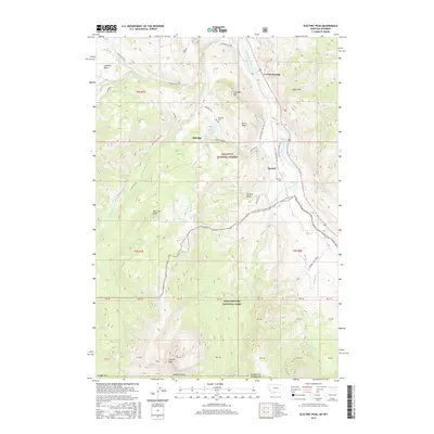
2017 Map of Electric Peak
USGS Topo · Published 2017About this map
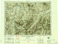
Electric Peak dominates the southern reaches of this mountain landscape, marking the transition into Yellowstone National Park. Along the eastern edge, the Yellowstone River cuts through the corridor near Corwin Springs, followed closely by the historic route of the Old Yellowstone Trail S. This area serves as a significant gateway to the park, where the high-altitude terrain of the Gallatin National Forest meets the river valley.
Find a feature on this map
55 named features on this map. Tap any name to fly to it.
Don’t see what you’re looking for? This feature index may not catch every label — zoom into the map to look around manually.
Map Details
Editions of this 2017 Electric Peak Map
This is the sole edition of this map. No revisions or reprints were ever made.
Other maps of this area
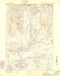
1885 · Gallatin
USGS Topo · 1:125,000
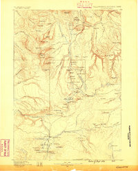
1885 · Gallatin
USGS Topo · 1:125,000
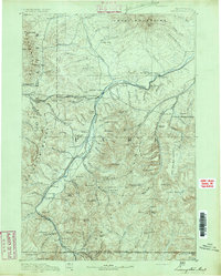
1891 · Livingston
USGS Topo · 1:250,000
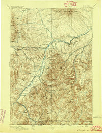
1893 · Livingston
USGS Topo · 1:250,000
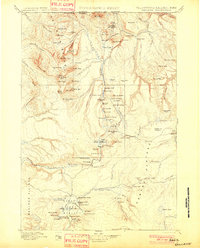
1901 · Gallatin
USGS Topo · 1:125,000
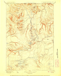
1908 · Gallatin
USGS Topo · 1:125,000
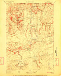
1911 · Gallatin
USGS Topo · 1:125,000

1947 · Bozeman
USGS Topo · 1:250,000

1948 · Bozeman
USGS Topo · 1:250,000
1955 · Bozeman
USGS Topo · 1:250,000