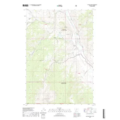
2020 Map of Electric Peak
USGS Topo · Published 2020About this map
Electric Peak towers over the border of Gallatin National Forest and Yellowstone National Park, anchoring a landscape defined by sharp elevation changes and deep mountain hydrology. The settlements of Aldridge and Electric appear alongside historic cemetery sites like the Aldridge Cem and Horr Cem, providing critical landmarks for genealogists and local historians tracing the early mining and ranching legacy of Park County.
Find a feature on this map
62 named features on this map. Tap any name to fly to it.
Don’t see what you’re looking for? This feature index may not catch every label — zoom into the map to look around manually.
Map Details
Editions of this 2020 Electric Peak Map
This is the sole edition of this map. No revisions or reprints were ever made.
Other maps of this area

1885 · Gallatin
USGS Topo · 1:125,000

1885 · Gallatin
USGS Topo · 1:125,000

1891 · Livingston
USGS Topo · 1:250,000

1893 · Livingston
USGS Topo · 1:250,000

1901 · Gallatin
USGS Topo · 1:125,000

1908 · Gallatin
USGS Topo · 1:125,000

1911 · Gallatin
USGS Topo · 1:125,000

1947 · Bozeman
USGS Topo · 1:250,000

1948 · Bozeman
USGS Topo · 1:250,000

1955 · Bozeman
USGS Topo · 1:250,000