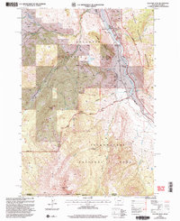
2000 Map of Electric Peak
USGS Topo · Published 2005About this map
Electric Peak stands as the dominant summit at the intersection of the Montana Wyoming border, anchoring a landscape where industrial heritage meets protected wilderness. The drainage of the Yellowstone River serves as a primary corridor, passing through settlements like Corwin Springs and the site of Horr. Historical resource extraction is evident near Aldridge, where a Mine Shaft and Coke Ovens indicate the area's coal mining and processing legacy.
Find a feature on this map
41 named features on this map. Tap any name to fly to it.
Don’t see what you’re looking for? This feature index may not catch every label — zoom into the map to look around manually.
Map Details
Editions of this 2000 Electric Peak Map
This is the sole edition of this map. No revisions or reprints were ever made.
Other maps of this area

1885 · Gallatin
USGS Topo · 1:125,000

1885 · Gallatin
USGS Topo · 1:125,000

1891 · Livingston
USGS Topo · 1:250,000

1893 · Livingston
USGS Topo · 1:250,000

1901 · Gallatin
USGS Topo · 1:125,000

1908 · Gallatin
USGS Topo · 1:125,000

1911 · Gallatin
USGS Topo · 1:125,000

1947 · Bozeman
USGS Topo · 1:250,000

1948 · Bozeman
USGS Topo · 1:250,000

1955 · Bozeman
USGS Topo · 1:250,000