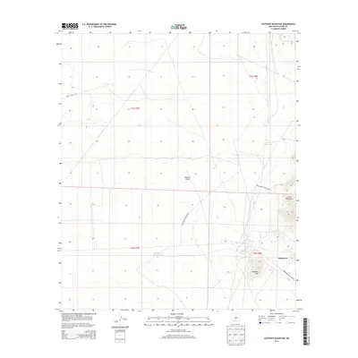
2013 Map of Elephant Mountain
USGS Topo · Published 2013About this map
Orogrande sits at the foot of the southern peaks of the Jarilla Mountains, serving as a focal point for this high-desert landscape in Otero County. The settlement's proximity to the rugged slopes of Elephant Mtn highlights its historical connection to the mineral-rich heights above the Tularosa Valley. Large swaths of the terrain are dedicated to military operations, with the White Sands Missile Range boundary dominating the central and western portions of the quadrangle.
Find a feature on this map
13 named features on this map. Tap any name to fly to it.
Don’t see what you’re looking for? This feature index may not catch every label — zoom into the map to look around manually.
Map Details
Editions of this 2013 Elephant Mountain Map
This is the sole edition of this map. No revisions or reprints were ever made.
Other maps of this area

1916 · Point Of Sands
USGS Topo · 1:125,000

1940 · Orogrande
USGS Topo · 1:62,500

1943 · Parker Lake
USGS Topo · 1:62,500

1943 · Orogrande
USGS Topo · 1:62,500

1947 · Orogrande North
USGS Topo · 1:24,000

1947 · Lake Lucero
USGS Topo · 1:62,500

1948 · El Wood
USGS Topo · 1:24,000
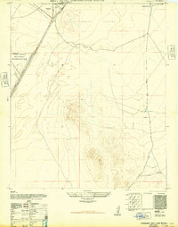
1948 · Orogrande South
USGS Topo · 1:24,000
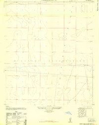
1948 · Parker Lake SE
USGS Topo · 1:24,000

1948 · Elephant Mountain
USGS Topo · 1:24,000