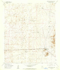
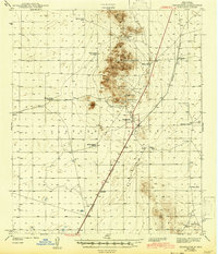
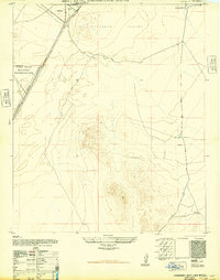
1955 Map of Elephant Mountain
USGS Topo · Published 1962About this map
White Sands Proving Ground and the Fort Bliss Military Reservation dominate this mid-century landscape in the Tularosa Valley. The map records a critical era of military expansion and land use in Otero County, where the desert floor meets the rising slopes of the Jarilla Mountains. Significant infrastructure for operations is visible at the Orogrande Range Camp, while the earlier ranching history of the basin remains evident in labels like the McNew Well Camp Ruins and several water catchments including North Tank and the McNew Feeder Tank. Centered on the namesake Elephant Mountain, the topography illustrates the transition from the arid valley basin to the isolated peaks that defined early navigation and modern range boundaries. This document preserves the footprint of both the emerging Cold War military presence and the fading traces of pioneer-era cattle camps.
Find a feature on this map
14 named features on this map. Tap any name to fly to it.
Don’t see what you’re looking for? This feature index may not catch every label — zoom into the map to look around manually.
Map Details
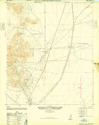
Editions of this 1955 Elephant Mountain Map
2 editions found
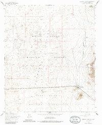
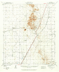
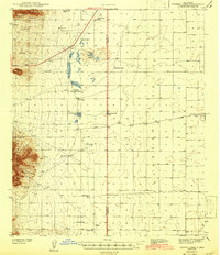
Other maps of this area

1916 · Point Of Sands
USGS Topo · 1:125,000
1940 · Orogrande
USGS Topo · 1:62,500
1943 · Parker Lake
USGS Topo · 1:62,500
1943 · Orogrande
USGS Topo · 1:62,500
1947 · Orogrande North
USGS Topo · 1:24,000
1947 · Lake Lucero
USGS Topo · 1:62,500
1948 · El Wood
USGS Topo · 1:24,000
1948 · Orogrande South
USGS Topo · 1:24,000
1948 · Parker Lake SE
USGS Topo · 1:24,000
1948 · Elephant Mountain
USGS Topo · 1:24,000