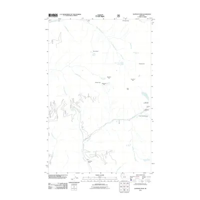
2011 Map of Elephant Peak
USGS Topo · Published 2011About this map
Heidelberg Mine and its associated upper workings sit high on the eastern slopes of this Lincoln County landscape, representing a significant mining footprint in the region. The map documents a complex network of high-altitude passes and peaks, including Milwaukee Pass and Saint Paul Pass, which serve as vital topographic markers. These features, along with Chicago Peak and Saint Paul Peak, define the divide between numerous drainage systems like East Fork Bull River and the various branches of Rock Creek.
Find a feature on this map
43 named features on this map. Tap any name to fly to it.
Don’t see what you’re looking for? This feature index may not catch every label — zoom into the map to look around manually.
Map Details
Editions of this 2011 Elephant Peak Map
This is the sole edition of this map. No revisions or reprints were ever made.
Other maps of this area

1920 · Libby
USGS Topo · 1:125,000

1930 · Libby
USGS Topo · 1:125,000

1932 · Libby
USGS Topo · 1:125,000

1932 · Trout Creek
USGS Topo · 1:125,000

1935 · Trout Creek
USGS Topo · 1:125,000

1936 · Trout Creek
USGS Topo · 1:125,000

1956 · Wallace
USGS Topo · 1:250,000

1957 · Kalispell
USGS Topo · 1:250,000

1960 · Kalispell
USGS Topo · 1:250,000

1960 · Wallace
USGS Topo · 1:250,000