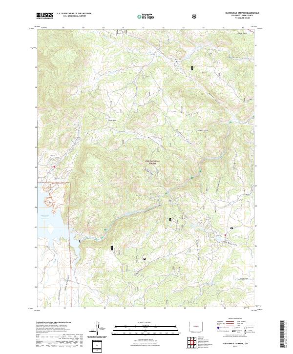
2022 Map of Elevenmile Canyon
USGS Topo · Published 2022About this map
The South Platte River carves a dramatic path through the Pike National Forest on this 2022 survey, anchoring a landscape defined by the steep granite walls of Elevenmile Canyon. The area’s complex topography is highlighted by the Puma Hills and a dense network of drainages including Wagon Tongue Gulch, Dittemore Gulch, and Sledge Hammer Gulch. The Elevenmile Canyon Reservoir and Wagon Tongue Reservoir provide critical water storage and recreation points within this terrain, which is historically accessed via the Midland Trl. This trail follows the route of the historic Colorado Midland Railway, which once connected the high country through these narrow canyons.
Find a feature on this map
41 named features on this map. Tap any name to fly to it.
Don’t see what you’re looking for? This feature index may not catch every label — zoom into the map to look around manually.
Map Details
Editions of this 2022 Elevenmile Canyon Map
This is the sole edition of this map. No revisions or reprints were ever made.
Other maps of this area

1893 · Platte Canyon
USGS Topo · 1:125,000

1894 · Pikes Peak
USGS Topo · 1:125,000

1901 · Pikes Peak
USGS Topo · 1:125,000

1953 · Denver
USGS Topo · 1:250,000

1954 · Pueblo
USGS Topo · 1:250,000

1956 · Tarryall
USGS Topo · 1:24,000

1956 · Hackett Mountain
USGS Topo · 1:24,000

1956 · Lake George
USGS Topo · 1:24,000

1956 · Elevenmile Canyon
USGS Topo · 1:24,000

1956 · Glentivar
USGS Topo · 1:24,000