
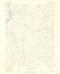
1956 Map of Lake George
USGS Topo · Published 1957About this map
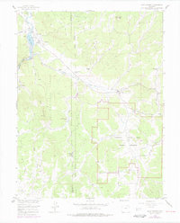
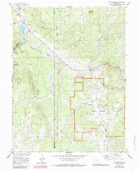
Lake George and Florissant serve as the primary hubs in this mid-century survey of the high-altitude Teller County landscape. The area is defined by a network of ranching properties, including Bantleon Ranch, Crystal Peak Ranch, and Snare Ranch, situated among the peaks of the Pike National Forest. A notable transition in transportation is evident as an Old Railroad Grade winds through the valley near Beaver Creek, superseded by the developing road system of the 1950s.
Find a feature on this map
35 named features on this map. Tap any name to fly to it.
Don’t see what you’re looking for? This feature index may not catch every label — zoom into the map to look around manually.
Map Details
Editions of this 1956 Lake George Map
7 editions found
Other maps of this area

1893 · Platte Canyon
USGS Topo · 1:125,000

1894 · Pikes Peak
USGS Topo · 1:125,000

1901 · Pikes Peak
USGS Topo · 1:125,000

1901 · Pikes Peak
USGS Topo · 1:62,500

1951 · Cripple Creek North
USGS Topo · 1:24,000

1953 · Denver
USGS Topo · 1:250,000

1954 · Signal Butte
USGS Topo · 1:24,000

1954 · Divide
USGS Topo · 1:24,000

1954 · Pueblo
USGS Topo · 1:250,000

1956 · Tarryall
USGS Topo · 1:24,000