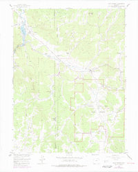
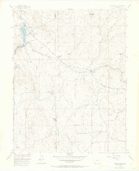
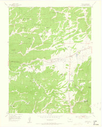
1956 Map of Lake George
USGS Topo · Published 1978About this map
Lake George sits at the northern edge of this high-altitude landscape, where the South Platte River emerges from the Platte Canyon. The area is defined by its transition from ranching and forest land into the unique geological terrain of the Florissant Fossil Beds National Monument. Throughout the mid-20th century, this region supported a mix of institutional and private lands, including the Camp Alexander (Boy Scouts of America) and numerous family-named properties like the Bantleon Ranch and Snare Ranch. Traces of earlier transportation networks are visible via the Old Railroad Grade winding through the hills. The map also highlights local infrastructure such as the Fish Hatchery and Pumping Sta, alongside the Lake George Cem and Florissant Cem, which serve as vital touchstones for family history in this portion of the Pike National Forest.
Find a feature on this map
34 named features on this map. Tap any name to fly to it.
Don’t see what you’re looking for? This feature index may not catch every label — zoom into the map to look around manually.
Map Details
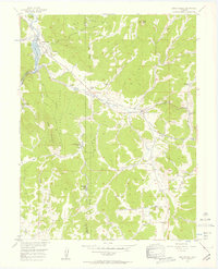
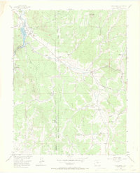
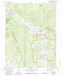
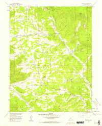
Editions of this 1956 Lake George Map
7 editions found
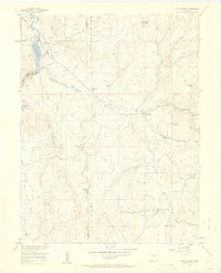
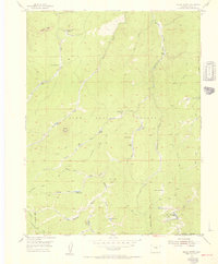
Other maps of this area

1893 · Platte Canyon
USGS Topo · 1:125,000

1894 · Pikes Peak
USGS Topo · 1:125,000

1901 · Pikes Peak
USGS Topo · 1:125,000

1901 · Pikes Peak
USGS Topo · 1:62,500

1951 · Cripple Creek North
USGS Topo · 1:24,000

1953 · Denver
USGS Topo · 1:250,000
1954 · Signal Butte
USGS Topo · 1:24,000
1954 · Divide
USGS Topo · 1:24,000

1954 · Pueblo
USGS Topo · 1:250,000
1956 · Tarryall
USGS Topo · 1:24,000