
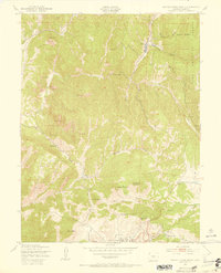
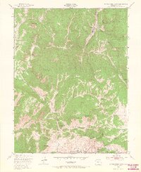
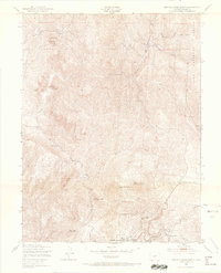
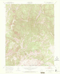
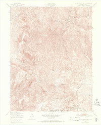
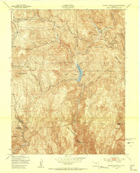
1951 Map of Cripple Creek North
USGS Topo · Published 1954About this map
Cripple Creek and the surrounding mining district are captured here in the early 1950s, a period when the gold-rush intensity of the prior century had shifted toward modernization and early recreation. The landscape is defined by the high-elevation terrain of Mineral Hill, Carbonate Hill, and Copper Mountain, where industrial scars and mining operations like the Mollie Kathleen Mine sit alongside civic necessities like the County Hospital. The map reveals a community in transition, balancing its deep-rooted extractive history with newer developments such as the Tenderfoot Ski Area near Hoosier Pass.
Find a feature on this map
31 named features on this map. Tap any name to fly to it.
Don’t see what you’re looking for? This feature index may not catch every label — zoom into the map to look around manually.
Map Details
Editions of this 1951 Cripple Creek North Map
9 editions found
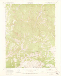
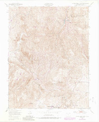
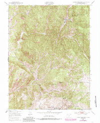
Other maps of this area

1894 · Pikes Peak
USGS Topo · 1:125,000

1901 · Pikes Peak
USGS Topo · 1:125,000

1901 · Pikes Peak
USGS Topo · 1:62,500

1942 · Cover Mtn.
USGS Topo · 1:62,500

1948 · Cover Mtn.
USGS Topo · 1:62,500

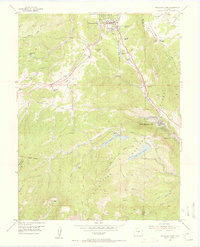
1951 · Cripple Creek South
USGS Topo · 1:24,000
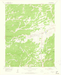
1951 · Big Bull Mountain
USGS Topo · 1:24,000

1951 · Pikes Peak
USGS Topo · 1:24,000
1954 · Woodland Park
USGS Topo · 1:24,000
1954 · Divide
USGS Topo · 1:24,000