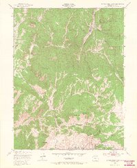
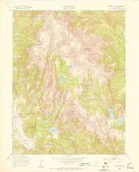
1951 Map of Cripple Creek North
USGS Topo · Published 1967About this map
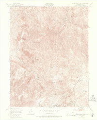
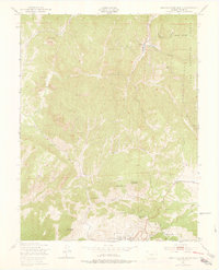
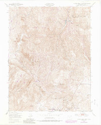
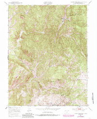
Cripple Creek anchors the southern margin of this mid-century survey, revealing the high-altitude landscape of Colorado’s gold mining heartland just after the 1950 aerial photography. The terrain is a dense network of volcanic peaks and gulches, featuring Rhyolite Mountain, Mineral Hill, and Copper Mountain. The map provides specific locations for local institutional and recreational sites, such as the County Hospital and the Tenderfoot Ski Area.
Find a feature on this map
35 named features on this map. Tap any name to fly to it.
Don’t see what you’re looking for? This feature index may not catch every label — zoom into the map to look around manually.
Map Details
Editions of this 1951 Cripple Creek North Map
9 editions found
Other maps of this area

1894 · Pikes Peak
USGS Topo · 1:125,000

1901 · Pikes Peak
USGS Topo · 1:125,000

1901 · Pikes Peak
USGS Topo · 1:62,500

1942 · Cover Mtn.
USGS Topo · 1:62,500

1948 · Cover Mtn.
USGS Topo · 1:62,500

1951 · Cripple Creek South
USGS Topo · 1:24,000

1951 · Big Bull Mountain
USGS Topo · 1:24,000
1951 · Pikes Peak
USGS Topo · 1:24,000

1951 · Cripple Creek North
USGS Topo · 1:24,000

1954 · Woodland Park
USGS Topo · 1:24,000