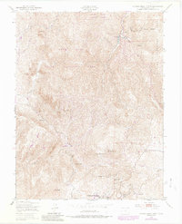
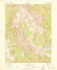
1951 Map of Cripple Creek North
USGS Topo · Published 1985About this map
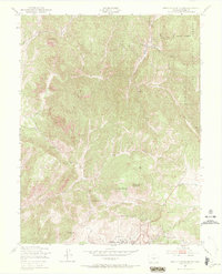
Cripple Creek anchors the southern boundary of this high-elevation terrain, showing the northern outskirts of the gold mining district as it appeared in the mid-20th century. The landscape is dominated by volcanic and metamorphic peaks including Rhyolite Mountain, Copper Mountain, and Red Mountain, which defined the local topography during the area's transition into a protected wilderness. North of the settlement, the Mollie Kathleen Mine stands as a significant landmark of the district's industrial heritage, while the County Hospital serves as a reminder of the municipal infrastructure supporting the mining population. Conservation efforts are evident in the northern sections, where the Dome Rock State Park and Dome Rock State Wildlife Area preserve the area surrounding Fourmile Creek. The map also traces essential drainage networks like Poverty Gulch and Buchannon Gulch, which were critical to both early prospecting and the regional water supply.
Find a feature on this map
28 named features on this map. Tap any name to fly to it.
Don’t see what you’re looking for? This feature index may not catch every label — zoom into the map to look around manually.
Map Details
Editions of this 1951 Cripple Creek North Map
9 editions found
Other maps of this area

1894 · Pikes Peak
USGS Topo · 1:125,000

1901 · Pikes Peak
USGS Topo · 1:125,000

1901 · Pikes Peak
USGS Topo · 1:62,500

1942 · Cover Mtn.
USGS Topo · 1:62,500

1948 · Cover Mtn.
USGS Topo · 1:62,500

1951 · Cripple Creek South
USGS Topo · 1:24,000

1951 · Big Bull Mountain
USGS Topo · 1:24,000
1951 · Pikes Peak
USGS Topo · 1:24,000

1951 · Cripple Creek North
USGS Topo · 1:24,000

1954 · Woodland Park
USGS Topo · 1:24,000