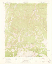
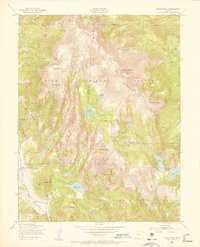
1951 Map of Cripple Creek North
USGS Topo · Published 1978About this map
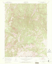
Cripple Creek sits at the southern edge of this study, revealing a landscape defined by the legacies of one of the world's most productive gold mining districts. The terrain is marked by prominent peaks and mining landmarks, including the Mollie Kathleen Mine and Mineral Hill. Revisions made in the mid-1970s illustrate the evolution of the area, notably the inclusion of the Tenderfoot Ski Area northeast of town and the County Hospital. Further north, the settlement of Midland appears near the confluence of Fourmile Creek and Oil Creek, surrounded by the rugged eastern slopes of the Pike National Forest. The geography is characterized by deep drainage basins like Long Hungry Gulch and Poverty Gulch, which cut through the high volcanic peaks of Rhyolite Mountain and Copper Mountain. This map documents the transition of a classic mining region as it integrated recreation and modern infrastructure into its traditional industrial setting.
Find a feature on this map
26 named features on this map. Tap any name to fly to it.
Don’t see what you’re looking for? This feature index may not catch every label — zoom into the map to look around manually.
Map Details
Editions of this 1951 Cripple Creek North Map
9 editions found
Other maps of this area

1894 · Pikes Peak
USGS Topo · 1:125,000

1901 · Pikes Peak
USGS Topo · 1:125,000

1901 · Pikes Peak
USGS Topo · 1:62,500

1942 · Cover Mtn.
USGS Topo · 1:62,500

1948 · Cover Mtn.
USGS Topo · 1:62,500

1951 · Cripple Creek South
USGS Topo · 1:24,000

1951 · Big Bull Mountain
USGS Topo · 1:24,000
1951 · Pikes Peak
USGS Topo · 1:24,000

1951 · Cripple Creek North
USGS Topo · 1:24,000

1954 · Woodland Park
USGS Topo · 1:24,000