
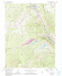
1954 Map of Woodland Park
USGS Topo · Published 1955About this map
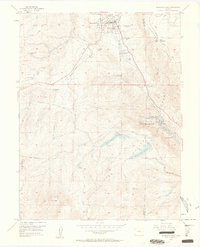
Woodland Park serves as a key settlement on this mid-century survey of the Pike National Forest, situated where the high country transitions into the drainage of Fountain Creek. The landscape is defined by the legacy of early transportation, most notably the Colorado Midland Railroad (Former Grade) which snakes through the terrain alongside the newer highway route. Further south, the map details the recreation and water management systems near Green Mountain Falls and Chipita Park, including the Crystal Creek Reservoir and the South Catamount Creek drainage. The mapping of numerous guest ranches like Silver Springs Ranch and Aspen Valley Ranch highlights the era's shift toward mountain tourism and seasonal residences. Higher elevations toward the southwest lead to distinctive landmarks like The Crags and the slopes of Raspberry Mountain, illustrating the topographic complexity of the Rampart Range before it descends toward the eastern plains.
Find a feature on this map
32 named features on this map. Tap any name to fly to it.
Don’t see what you’re looking for? This feature index may not catch every label — zoom into the map to look around manually.
Map Details
Editions of this 1954 Woodland Park Map
6 editions found
Other maps of this area

1893 · Platte Canyon
USGS Topo · 1:125,000

1893 · Colorado Springs
USGS Topo · 1:125,000

1894 · Pikes Peak
USGS Topo · 1:125,000

1894 · Castle Rock
USGS Topo · 1:125,000

1901 · Pikes Peak
USGS Topo · 1:125,000

1901 · Pikes Peak
USGS Topo · 1:62,500

1909 · Colorado Springs
USGS Topo · 1:125,000

1913 · Castle Rock
USGS Topo · 1:125,000

1942 · Colorado Springs
USGS Topo · 1:125,000

1948 · Manitou Springs
USGS Topo · 1:24,000