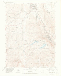
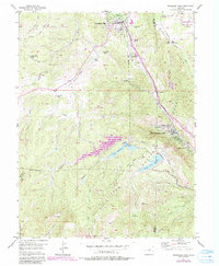
1954 Map of Woodland Park
USGS Topo · Published 1969About this map
Woodland Park serves as a primary hub in this mid-century survey of the Rampart Range foothills, where the transition from ranching to early mountain tourism is evident. The landscape is marked by numerous legacy estates such as Silver Springs Ranch, Aspen Valley Ranch, and Paradise Ranch. Infrastructure supporting the growing Front Range population is prominent, including the Blue River Pipe Line and an Aqueduct Tunnel near South Catamount Reservoir.
Find a feature on this map
39 named features on this map. Tap any name to fly to it.
Don’t see what you’re looking for? This feature index may not catch every label — zoom into the map to look around manually.
Map Details
Editions of this 1954 Woodland Park Map
6 editions found

Other maps of this area

1893 · Platte Canyon
USGS Topo · 1:125,000

1893 · Colorado Springs
USGS Topo · 1:125,000

1894 · Pikes Peak
USGS Topo · 1:125,000

1894 · Castle Rock
USGS Topo · 1:125,000

1901 · Pikes Peak
USGS Topo · 1:125,000

1901 · Pikes Peak
USGS Topo · 1:62,500

1909 · Colorado Springs
USGS Topo · 1:125,000

1913 · Castle Rock
USGS Topo · 1:125,000

1942 · Colorado Springs
USGS Topo · 1:125,000

1948 · Manitou Springs
USGS Topo · 1:24,000