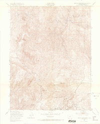
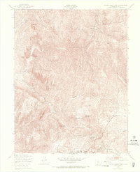
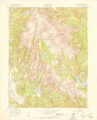
1951 Map of Cripple Creek North
USGS Topo · Published 1967About this map
Cripple Creek and its surrounding high-altitude terrain appear here just as the post-war era began to transition the region from its mining roots toward modern recreation. The southern edge of the map is anchored by the historic city, showing the concentration of civic life at the County Hospital and the final resting place at Mt Pisgah Cem. Industrial history remains prominent at the Mollie Kathleen Mine, while the emergence of leisure is evidenced by the Tenderfoot Ski Area near Hoosier Pass.
Find a feature on this map
28 named features on this map. Tap any name to fly to it.
Don’t see what you’re looking for? This feature index may not catch every label — zoom into the map to look around manually.
Map Details
Editions of this 1951 Cripple Creek North Map
9 editions found
Other maps of this area

1894 · Pikes Peak
USGS Topo · 1:125,000

1901 · Pikes Peak
USGS Topo · 1:125,000

1901 · Pikes Peak
USGS Topo · 1:62,500

1942 · Cover Mtn.
USGS Topo · 1:62,500

1948 · Cover Mtn.
USGS Topo · 1:62,500

1951 · Cripple Creek South
USGS Topo · 1:24,000

1951 · Big Bull Mountain
USGS Topo · 1:24,000
1951 · Pikes Peak
USGS Topo · 1:24,000

1951 · Cripple Creek North
USGS Topo · 1:24,000

1954 · Woodland Park
USGS Topo · 1:24,000