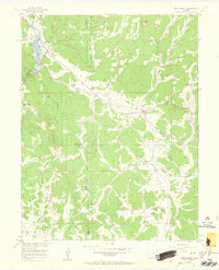
1956 Map of Lake George
USGS Topo · Published 1960About this map
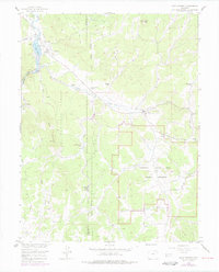
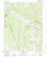
The South Platte River and its tributary canyons anchor this mid-century survey of the Park and Teller county line. The settlement at Lake George is shown as a focal point for mountain ranching and local infrastructure, featuring a Ranger Sta, Fish Hatchery, and a nearby Lake George Cem. To the east, the village of Florissant sits along Twin Creek, surrounded by established properties like Bantleon Ranch and Crystal Peak Ranch.
Find a feature on this map
37 named features on this map. Tap any name to fly to it.
Don’t see what you’re looking for? This feature index may not catch every label — zoom into the map to look around manually.
Map Details
Editions of this 1956 Lake George Map
7 editions found

Other maps of this area

1893 · Platte Canyon
USGS Topo · 1:125,000

1894 · Pikes Peak
USGS Topo · 1:125,000

1901 · Pikes Peak
USGS Topo · 1:125,000

1901 · Pikes Peak
USGS Topo · 1:62,500

1951 · Cripple Creek North
USGS Topo · 1:24,000

1953 · Denver
USGS Topo · 1:250,000

1954 · Signal Butte
USGS Topo · 1:24,000

1954 · Divide
USGS Topo · 1:24,000

1954 · Pueblo
USGS Topo · 1:250,000

1956 · Tarryall
USGS Topo · 1:24,000