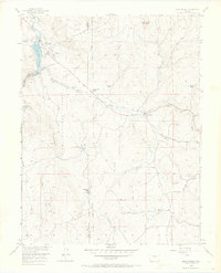
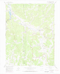
1956 Map of Lake George
USGS Topo · Published 1970About this map
The South Platte River carves through the landscape of the Pike National Forest, defining the rugged topography of Teller and Park counties. In the mid-1950s, this area centered on the small settlements of Lake George and Florissant was characterized by high-altitude ranching and the nascent beginnings of modern infrastructure. The presence of an Old Railroad Grade running through the center of the sheet speaks to the vanished rail corridors that once served Colorado's mountain interior, while the massive Aqueduct and a Pumping Sta reveal the engineering efforts to move water across the Continental Divide.
Find a feature on this map
36 named features on this map. Tap any name to fly to it.
Don’t see what you’re looking for? This feature index may not catch every label — zoom into the map to look around manually.
Map Details
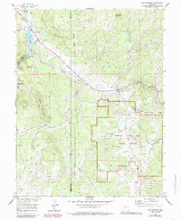
Editions of this 1956 Lake George Map
7 editions found

Other maps of this area

1893 · Platte Canyon
USGS Topo · 1:125,000

1894 · Pikes Peak
USGS Topo · 1:125,000

1901 · Pikes Peak
USGS Topo · 1:125,000

1901 · Pikes Peak
USGS Topo · 1:62,500

1951 · Cripple Creek North
USGS Topo · 1:24,000

1953 · Denver
USGS Topo · 1:250,000

1954 · Signal Butte
USGS Topo · 1:24,000

1954 · Divide
USGS Topo · 1:24,000

1954 · Pueblo
USGS Topo · 1:250,000

1956 · Tarryall
USGS Topo · 1:24,000