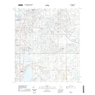
2021 Map of Elfers
USGS Topo · Published 2021About this map
The Anclote River and Pithlachascotee River dictate the drainage and settlement patterns of this coastal corridor, where the residential grids of Elfers, Holiday, and Trinity meet the natural wetlands of the Gulf Coast. This contemporary survey shows the extensive suburban development surrounding the northern reach of Lake Tarpon and Salmons Bay, while preserving the location of local landmarks like the East Elfers Cem and Rose Hill Cem.
Find a feature on this map
44 named features on this map. Tap any name to fly to it.
Don’t see what you’re looking for? This feature index may not catch every label — zoom into the map to look around manually.
Map Details
Editions of this 2021 Elfers Map
This is the sole edition of this map. No revisions or reprints were ever made.
Other maps of this area

1943 · Dunedin
USGS Topo · 1:31,680

1943 · Tarpon Springs
USGS Topo · 1:31,680

1943 · Odessa
USGS Topo · 1:24,000

1943 · Elfers
USGS Topo · 1:24,000

1943 · Oldsmar
USGS Topo · 1:24,000

1944 · Elfers
USGS Topo · 1:31,680

1944 · Oldsmar
USGS Topo · 1:31,680

1944 · Odessa
USGS Topo · 1:31,680
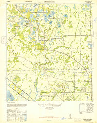
1947 · Citrus Park
USGS Topo · 1:24,000

1948 · Elfers
USGS Topo · 1:25,000