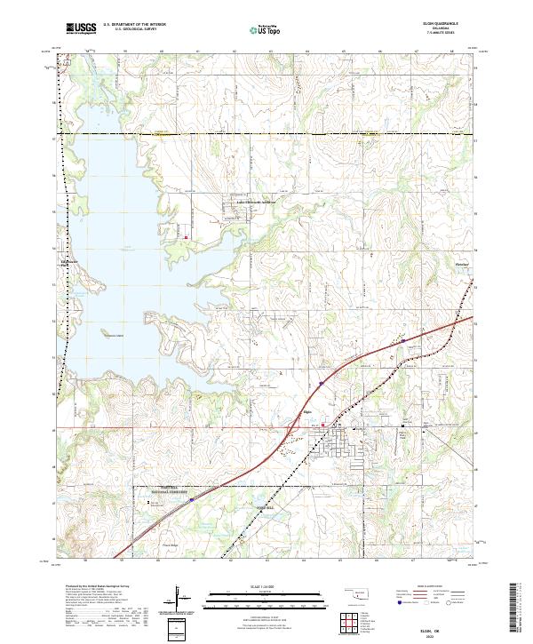
2022 Map of Elgin
USGS Topo · Published 2022About this map
Lake Ellsworth dominates the northwestern portion of this landscape, its fingers reaching into the surrounding terrain to create landmarks like Martin Arm and Schammahorn Slough. Near the water, residential developments such as Edgewater Park and Lake Ellsworth Addition contrast with the open rural lands further east. The town of Elgin serves as a central hub, organized around a traditional street grid and situated near the junction of major transit corridors that facilitate movement through Comanche and Caddo counties.
Find a feature on this map
114 named features on this map. Tap any name to fly to it.
Don’t see what you’re looking for? This feature index may not catch every label — zoom into the map to look around manually.
Map Details
Editions of this 2022 Elgin Map
This is the sole edition of this map. No revisions or reprints were ever made.
Other maps of this area

1946 · Lawton
USGS Topo · 1:62,500

1949 · Arbuckle Hill
USGS Topo · 1:24,000

1949 · Cement
USGS Topo · 1:62,500

1949 · Elgin
USGS Topo · 1:24,000

1949 · Fort Sill
USGS Topo · 1:24,000

1949 · Nellie
USGS Topo · 1:62,500

1955 · Lawton
USGS Topo · 1:250,000

1956 · Sterling
USGS Topo · 1:24,000

1956 · Fletcher
USGS Topo · 1:24,000

1956 · Arbuckle Hill
USGS Topo · 1:24,000