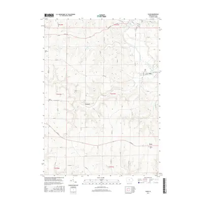
2015 Map of Elgin
USGS Topo · Published 2015About this map
The Turkey River winds through the heart of this Fayette County landscape, where the town of Elgin serves as a primary center of settlement. This area is characterized by its numerous small creeks, including Otter Cr, Bell Cr, and Mink Cr, which carve through the terrain and define the local geography. The map reveals a dense network of country roads such as the Great River Rd and Dogwood Rd, connecting the town with outlying settlements like Brainard and Illyria.
Find a feature on this map
63 named features on this map. Tap any name to fly to it.
Don’t see what you’re looking for? This feature index may not catch every label — zoom into the map to look around manually.
Map Details
Editions of this 2015 Elgin Map
This is the sole edition of this map. No revisions or reprints were ever made.
Other maps of this area

1901 · Oelwein
USGS Topo · 1:125,000

1906 · Decorah
USGS Topo · 1:125,000

1958 · La Crosse
USGS Topo · 1:250,000

1959 · Dubuque
USGS Topo · 1:250,000

1961 · Dubuque
USGS Topo · 1:250,000

1961 · La Crosse
USGS Topo · 1:250,000

1962 · Dubuque
USGS Topo · 1:250,000

1965 · La Crosse
USGS Topo · 1:250,000

1965 · Elgin
USGS Topo · 1:24,000

1965 · Wadena
USGS Topo · 1:24,000