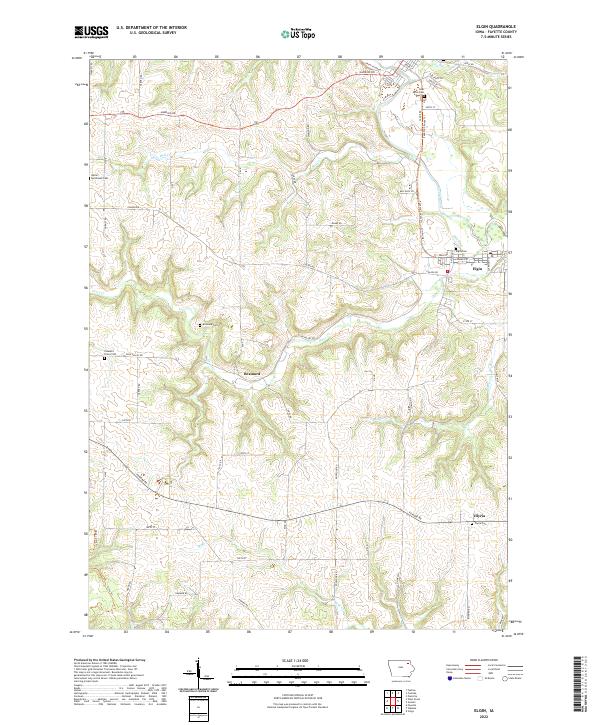
2022 Map of Elgin
USGS Topo · Published 2022About this map
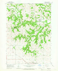
The Turkey River winds through the northeast corner of this Fayette County landscape, where the town of Elgin is situated along its banks. The settlement pattern reflects the area's agricultural and industrial heritage, notably marked by the Mill Race near the river and the concentration of cemeteries that anchor the local genealogy. To the south and west, smaller communities like Brainard and Illyria serve as focal points for the surrounding rural townships.
Find a feature on this map
61 named features on this map. Tap any name to fly to it.
Don’t see what you’re looking for? This feature index may not catch every label — zoom into the map to look around manually.
Map Details
Editions of this 2022 Elgin Map
This is the sole edition of this map. No revisions or reprints were ever made.
Other maps of this area
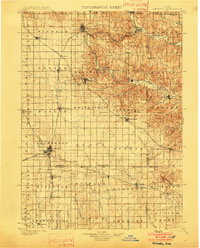
1901 · Oelwein
USGS Topo · 1:125,000
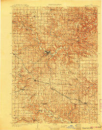
1906 · Decorah
USGS Topo · 1:125,000

1958 · La Crosse
USGS Topo · 1:250,000
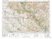
1959 · Dubuque
USGS Topo · 1:250,000
1961 · Dubuque
USGS Topo · 1:250,000

1961 · La Crosse
USGS Topo · 1:250,000
1962 · Dubuque
USGS Topo · 1:250,000
1965 · La Crosse
USGS Topo · 1:250,000
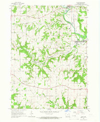
1965 · Elgin
USGS Topo · 1:24,000
1965 · Wadena
USGS Topo · 1:24,000