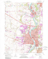
2024 Map of Elgin
USGS Topo · Published 2024About this map
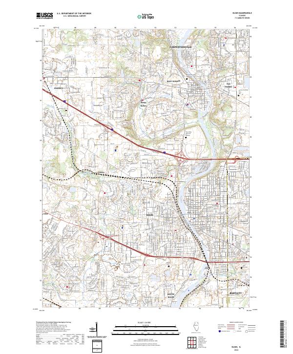
The Fox River valley serves as the central corridor for this 2024 survey of Elgin and its surrounding communities. Residential and commercial development spans the Kane and Cook county line, connecting established centers like Carpentersville, West Dundee, and South Elgin. This modern landscape is anchored by significant institutional and recreational features, including the campuses of Elgin Community College and Judson University, alongside preserved natural areas such as the Bluff-Spring Fen.
Find a feature on this map
41 named features on this map. Tap any name to fly to it.
Don’t see what you’re looking for? This feature index may not catch every label — zoom into the map to look around manually.
Map Details
Editions of this 2024 Elgin Map
This is the sole edition of this map. No revisions or reprints were ever made.
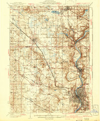
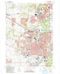
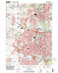
Historical Maps of Elgin Township Through Time
8 maps found