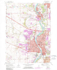
1962 Map of Elgin
USGS Topo · Published 1989About this map
The Fox River valley serves as the central corridor for this 1962 survey, updated with residential and industrial growth through 1980. The urban core of Elgin is dense with civic and educational institutions, including Elgin Community College, Elgin Academy, and the sprawling grounds of the Elgin State Hospital near the southern boundary. To the north, the twin settlements of West Dundee and East Dundee sit on opposing banks, connected by the Chicago and North Western rail line. The landscape transitions from the concentrated industrial developments of Carpentersville to the recreational spaces of Lords Park and Wing Park. Farther west, the terrain remains more open, marked by Tyler Creek, the Elgin Airport, and specialized sites like the Big Timber Scout Camp. These revisions in purple highlight the rapid suburban expansion pushing toward Sleepy Hollow and along the Northwest Tollway during the late twentieth century.
Find a feature on this map
90 named features on this map. Tap any name to fly to it.
Don’t see what you’re looking for? This feature index may not catch every label — zoom into the map to look around manually.
Map Details
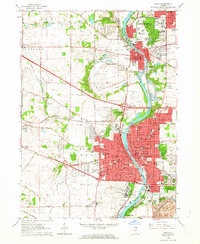
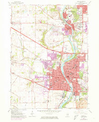
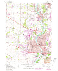
Editions of this 1962 Elgin Map
4 editions found
Other maps of this area

1908 · Wheaton
USGS Topo · 1:62,500

1923 · Barrington
USGS Topo · 1:62,500

1925 · Elgin
USGS Topo · 1:62,500

1932 · Geneva
USGS Topo · 1:62,500

1935 · Barrington
USGS Topo · 1:62,500

1940 · Elgin
USGS Topo · 1:62,500

1948 · Wheaton
USGS Topo · 1:62,500

1948 · Geneva
USGS Topo · 1:62,500

1949 · Geneva
USGS Topo · 1:24,000

1953 · West Chicago
USGS Topo · 1:24,000