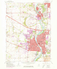
1962 Map of Elgin
USGS Topo · Published 1973About this map
The Fox River corridor serves as the primary axis for this 1960s study, illustrating the post-war suburbanization of northern Illinois. Significant industrial and institutional footprints characterize the landscape, most notably the expansive Elgin State Hospital complex and the Elgin Airport. The map documents a dense network of educational and social infrastructure, ranging from historic institutions like Elgin Academy to more modern developments such as Elgin Community College. Transportation patterns are dominated by the Northwest Tollway and several major rail lines, including the Chicago and North Western, which linked these river towns to the regional economy. Purple revisions from 1972 highlight the rapid expansion of residential areas around Carpentersville and South Elgin, while traditional landmarks like Bluff City Cemetery and Wing Park remain as established anchors within the growing urban fabric.
Find a feature on this map
76 named features on this map. Tap any name to fly to it.
Don’t see what you’re looking for? This feature index may not catch every label — zoom into the map to look around manually.
Map Details
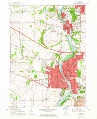
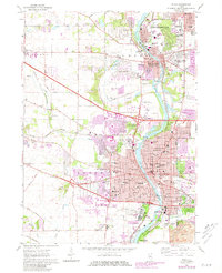
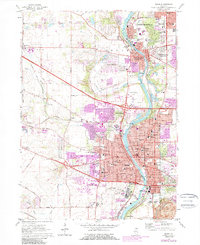
Editions of this 1962 Elgin Map
4 editions found
Other maps of this area

1908 · Wheaton
USGS Topo · 1:62,500

1923 · Barrington
USGS Topo · 1:62,500

1925 · Elgin
USGS Topo · 1:62,500

1932 · Geneva
USGS Topo · 1:62,500

1935 · Barrington
USGS Topo · 1:62,500

1940 · Elgin
USGS Topo · 1:62,500

1948 · Wheaton
USGS Topo · 1:62,500

1948 · Geneva
USGS Topo · 1:62,500

1949 · Geneva
USGS Topo · 1:24,000

1953 · West Chicago
USGS Topo · 1:24,000