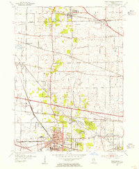
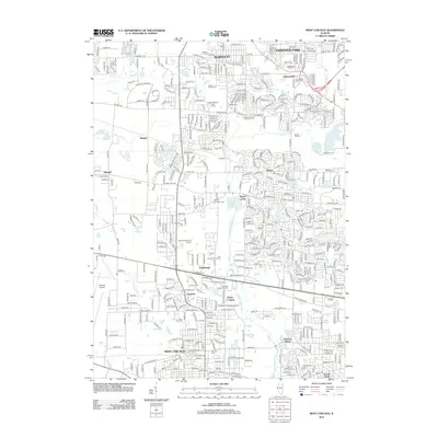
1953 Map of West Chicago
USGS Topo · Published 1955About this map
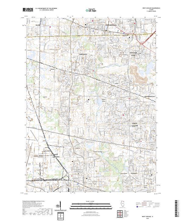
West Chicago serves as a major rail hub in this mid-century survey, where the Elgin Joliet and Eastern crosses the Chicago and North Western lines. The landscape is a transition of mid-century suburban expansion and established rural life, marked by numerous small schoolhouses like the McAuley Sch and the Oak Glen Sch (Abandoned). The northern edge of the map features the growing community of Bartlett and the smaller settlement of Ontarioville, while the western portion remains dominated by the open lands of Wayne. Local genealogy is well-represented through numerous burial grounds, including the unique Illinois Pet Cem and the Old Ontarioville Cem. Along the West Branch Du Page River, the topography reveals the early footprint of institutions like the Wheaton College Academy and the essential infrastructure of the County Airport.
Find a feature on this map
62 named features on this map. Tap any name to fly to it.
Don’t see what you’re looking for? This feature index may not catch every label — zoom into the map to look around manually.
Map Details
Editions of this 1953 West Chicago Map
This is the sole edition of this map. No revisions or reprints were ever made.
Historical Maps of Elgin Through Time
9 maps found
1953 West Chicago
DuPage County, IL
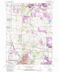
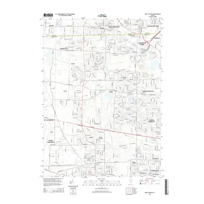
1962 West Chicago
DuPage County, IL
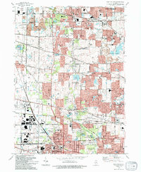
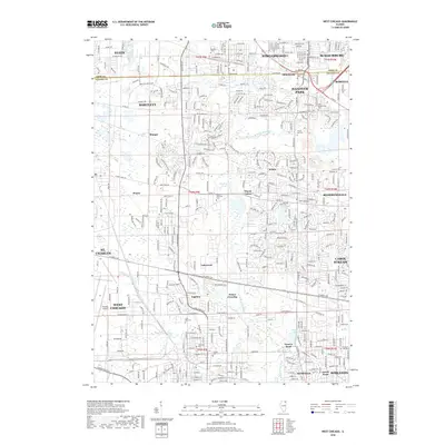
1993 West Chicago
DuPage County, IL
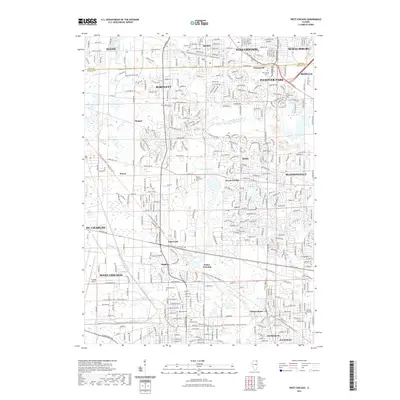
1998 West Chicago
DuPage County, IL
2012 West Chicago
DuPage County, IL
2015 West Chicago
DuPage County, IL
2018 West Chicago
DuPage County, IL
2021 West Chicago
DuPage County, IL
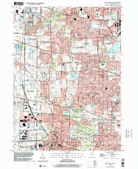
2024 West Chicago
DuPage County, IL