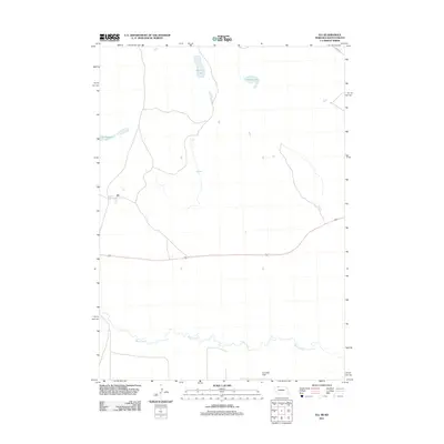
2011 Map of Eli
USGS Topo · Published 2011About this map
The small settlement of Eli anchors this western landscape near the border of Nebraska and South Dakota. In the early 21st century, the area is defined by its scattered water bodies and prairie terrain, where seasonal drainages and isolated basins like Winslow Lake, Nelson Lake, and Clubhouse Lake punctuate the northern sections of the survey. The southern portion of the map is dominated by the winding course of Bear Creek, which meanders through the wide, open expanse of Connely Flat. Local infrastructure remains sparse, characterized primarily by north-south township roads and Swan Rd cutting through the northwestern hills. This geography suggests a ranching or agricultural economy where land use is dictated by the availability of water and the flat topography of the creek basin.
Find a feature on this map
7 named features on this map. Tap any name to fly to it.
Don’t see what you’re looking for? This feature index may not catch every label — zoom into the map to look around manually.
Map Details
Editions of this 2011 Eli Map
This is the sole edition of this map. No revisions or reprints were ever made.
Other maps of this area

1951 · Merriman
USGS Topo · 1:62,500

1952 · Eli
USGS Topo · 1:62,500

1955 · Martin
USGS Topo · 1:250,000

1957 · Valentine
USGS Topo · 1:250,000

1958 · Martin
USGS Topo · 1:250,000

1959 · Valentine
USGS Topo · 1:250,000

1981 · Phantom Lake
USGS Topo · 1:25,000

1981 · Scotchman Lake
USGS Topo · 1:25,000

1983 · Martin
USGS Topo · 1:100,000

1985 · Eli SE
USGS Topo · 1:24,000