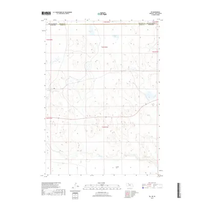
2017 Map of Eli
USGS Topo · Published 2017About this map
Eli sits at the heart of this high-plains landscape, marking a vital point of habitation along the state line where South Dakota and Nebraska meet. This 2017 survey details the remote borderland shared between Bennett County and Cherry County, characterized by a complex network of wetlands and seasonal water bodies. Notable landmarks include Winslow Lake and Nelson Lake in the northern reaches, while the meandering course of Bear Creek cuts through the southern terrain. The topographical relief of Connely Flat provides a distinct geographical contrast to the surrounding depressions, illustrating the unique drainage patterns of this prairie region where roads are sparse and the natural hydrology of the sandhills and plains remains the dominant feature.
Find a feature on this map
12 named features on this map. Tap any name to fly to it.
Don’t see what you’re looking for? This feature index may not catch every label — zoom into the map to look around manually.
Map Details
Editions of this 2017 Eli Map
This is the sole edition of this map. No revisions or reprints were ever made.
Other maps of this area

1951 · Merriman
USGS Topo · 1:62,500

1952 · Eli
USGS Topo · 1:62,500

1955 · Martin
USGS Topo · 1:250,000

1957 · Valentine
USGS Topo · 1:250,000

1958 · Martin
USGS Topo · 1:250,000

1959 · Valentine
USGS Topo · 1:250,000

1981 · Phantom Lake
USGS Topo · 1:25,000

1981 · Scotchman Lake
USGS Topo · 1:25,000

1983 · Martin
USGS Topo · 1:100,000

1985 · Eli SE
USGS Topo · 1:24,000