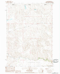
1985 Map of Eli
USGS Topo · Published 1985About this map
Eli and the high plains of northern Cherry County sit along the Nebraska and South Dakota border in the mid-1980s. The landscape is defined by the unique topography of the Sandhills, featuring expansive areas like Connelly Flat and scattered water bodies including Winslow Lake, Nelson Lake, and Clubhouse Lake. These isolated basins and the meandering course of Bear Creek reflect the area's specialized ranching environment. This survey captures a moment when the rural infrastructure was anchored by essential water sources, such as a mapped Well, and the thin thread of the railroad passing through the small settlement of Eli. The map provides a precise record of the section lines and township boundaries that partitioned this territory, including the intersection of Bennett and Cherry counties.
Find a feature on this map
10 named features on this map. Tap any name to fly to it.
Don’t see what you’re looking for? This feature index may not catch every label — zoom into the map to look around manually.
Map Details
Editions of this 1985 Eli Map
This is the sole edition of this map. No revisions or reprints were ever made.
Other maps of this area

1951 · Merriman
USGS Topo · 1:62,500

1952 · Eli
USGS Topo · 1:62,500

1955 · Martin
USGS Topo · 1:250,000

1957 · Valentine
USGS Topo · 1:250,000

1958 · Martin
USGS Topo · 1:250,000

1959 · Valentine
USGS Topo · 1:250,000

1981 · Phantom Lake
USGS Topo · 1:25,000

1981 · Scotchman Lake
USGS Topo · 1:25,000

1983 · Martin
USGS Topo · 1:100,000

1985 · Eli SE
USGS Topo · 1:24,000