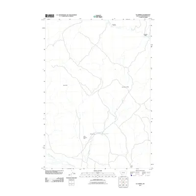
2011 Map of Eli Spring
USGS Topo · Published 2011About this map
Frenchie Place stands as a primary named locality within this southwestern Montana landscape, which is defined by a mix of high-desert water sources and active mineral extraction. The terrain transitions from the Rocky Hills across Hans Peterson Flats, where drainage patterns like Cedar Creek and Horse Prairie Creek provide essential hydrology to the arid environment. Resource extraction is a visible legacy here, anchored by the Grasshopper Strip Mine near Grasshopper Creek in the north and the Clark Canyon Mine to the south. Other features such as Eli Spring and the Spring Gulch highlight the critical role of isolated water points in the ranching and mining history of Beaverhead County.
Find a feature on this map
12 named features on this map. Tap any name to fly to it.
Don’t see what you’re looking for? This feature index may not catch every label — zoom into the map to look around manually.
Map Details
Editions of this 2011 Eli Spring Map
This is the sole edition of this map. No revisions or reprints were ever made.
Other maps of this area

1893 · Dillon
USGS Topo · 1:250,000

1952 · Bannack
USGS Topo · 1:24,000

1952 · Burns Mountain
USGS Topo · 1:24,000

1952 · Eli Spring
USGS Topo · 1:24,000

1952 · Dalys
USGS Topo · 1:24,000

1955 · Dubois
USGS Topo · 1:250,000

1955 · Dillon
USGS Topo · 1:250,000

1957 · Dillon
USGS Topo · 1:250,000

1958 · Dubois
USGS Topo · 1:250,000

1958 · Dillon
USGS Topo · 1:250,000