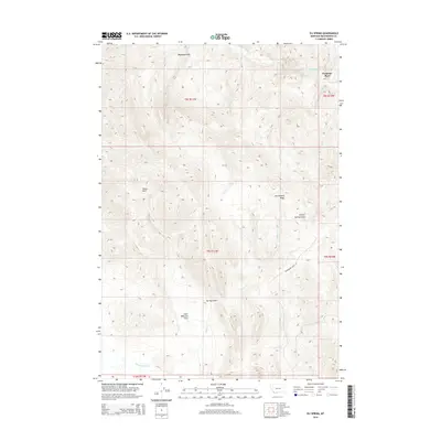
2014 Map of Eli Spring
USGS Topo · Published 2014About this map
Hans Peterson Flats and the high terrain of Henneberry Ridge define this corner of Beaverhead County, where modern topographic data details a landscape shaped by seasonal water and historical ranching. In the north, the small settlement of Frenchie Place sits near the headwaters of Grasshopper Cr, while the namesake Eli Spring provides a vital water source in an otherwise arid drainage system. The map documents the complex network of draws and ridges, including Madigan Gulch and Juniper Spring Gulch, that feed into larger arteries like Cedar Cr. This high-country geography is tied together by the winding path of Henneberry Ridge Rd, illustrating how the ranching and livestock history of the region is etched into the very nomenclature of the land through family-named landmarks like the Rocky Hills and the flats below.
Find a feature on this map
17 named features on this map. Tap any name to fly to it.
Don’t see what you’re looking for? This feature index may not catch every label — zoom into the map to look around manually.
Map Details
Editions of this 2014 Eli Spring Map
This is the sole edition of this map. No revisions or reprints were ever made.
Other maps of this area

1893 · Dillon
USGS Topo · 1:250,000

1952 · Bannack
USGS Topo · 1:24,000

1952 · Burns Mountain
USGS Topo · 1:24,000

1952 · Eli Spring
USGS Topo · 1:24,000

1952 · Dalys
USGS Topo · 1:24,000

1955 · Dubois
USGS Topo · 1:250,000

1955 · Dillon
USGS Topo · 1:250,000

1957 · Dillon
USGS Topo · 1:250,000

1958 · Dubois
USGS Topo · 1:250,000

1958 · Dillon
USGS Topo · 1:250,000