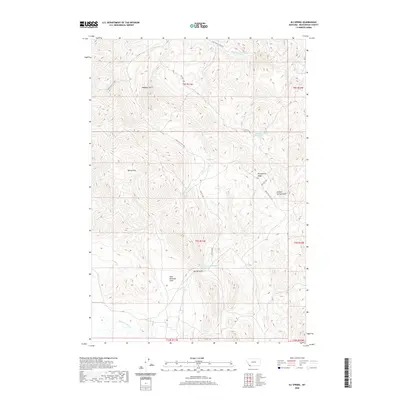
2020 Map of Eli Spring
USGS Topo · Published 2020About this map
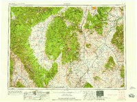
Hans Peterson Flats sits at the heart of this high-elevation landscape in Beaverhead County, Montana. The terrain is defined by the Rocky Hills and Henneberry Ridge, which separate various drainage systems feeding into Grasshopper Cr to the north and Horse Prairie Cr to the south. Water is the primary marker of life and location in this arid environment, evidenced by isolated points like Eli Spring and the complex naming of technical sources such as 09S11W27ABBB01 Spring.
Find a feature on this map
22 named features on this map. Tap any name to fly to it.
Don’t see what you’re looking for? This feature index may not catch every label — zoom into the map to look around manually.
Map Details
Editions of this 2020 Eli Spring Map
This is the sole edition of this map. No revisions or reprints were ever made.
Other maps of this area
1893 · Dillon
USGS Topo · 1:250,000
1952 · Bannack
USGS Topo · 1:24,000
1952 · Burns Mountain
USGS Topo · 1:24,000
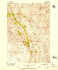
1952 · Eli Spring
USGS Topo · 1:24,000
1952 · Dalys
USGS Topo · 1:24,000
1955 · Dubois
USGS Topo · 1:250,000

1955 · Dillon
USGS Topo · 1:250,000

1957 · Dillon
USGS Topo · 1:250,000
1958 · Dubois
USGS Topo · 1:250,000
1958 · Dillon
USGS Topo · 1:250,000