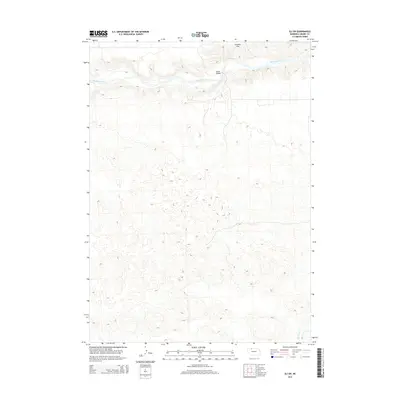
2014 Map of Eli SW
USGS Topo · Published 2014About this map
The Niobrara River carves through the northern landscape of this Cherry County region, providing a vital waterway for the surrounding terrain. Just south of the river, Connely Flat represents the distinct topography of the Nebraska Sandhills, while the Garner Bridge offers a specific point of reference for those tracing historical travel routes or property boundaries. Further south, the path of Medicine Cr is clearly delineated, aiding researchers in identifying natural boundaries. This 2014 survey provides a precise look at the rural geography of the area near Eli, offering valuable data for genealogists and environmental historians interested in the evolution of land use and water resources in this part of the state.
Find a feature on this map
4 named features on this map. Tap any name to fly to it.
Don’t see what you’re looking for? This feature index may not catch every label — zoom into the map to look around manually.
Map Details
Editions of this 2014 Eli SW Map
This is the sole edition of this map. No revisions or reprints were ever made.
Other maps of this area

1950 · Doughboy
USGS Topo · 1:62,500

1951 · Merriman
USGS Topo · 1:62,500

1951 · Merriman 4
USGS Topo · 1:62,500

1952 · Eli
USGS Topo · 1:62,500

1952 · Doughboy
USGS Topo · 1:62,500

1957 · Valentine
USGS Topo · 1:250,000

1959 · Valentine
USGS Topo · 1:250,000

1985 · Heath Valley
USGS Topo · 1:24,000

1985 · Eli SE
USGS Topo · 1:24,000
1985 · Eli
USGS Topo · 1:24,000