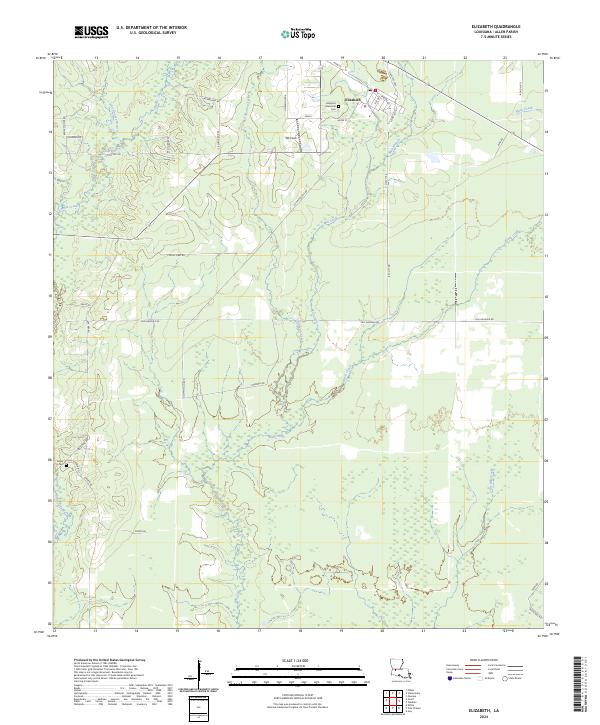
1947 Map of Elizabeth
USGS Topo · Published 1947About this map
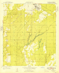
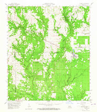
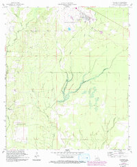
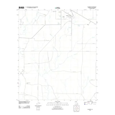
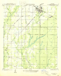
Elizabeth and the surrounding timberlands of Allen Parish are defined by the intensive rail and logging networks of the mid-1930s and 1940s. The town serves as a hub for the Gulf Colorado and Santa Fe Railroad, while an intricate web of Logging Railroad spurs and an Old Grade reach deep into the sections to harvest the pine forests. The landscape is heavily drained by several water systems, including the southward-flowing Tenmile Creek, Mill Creek, and Black Creek, which create a complex riparian environment amidst the surveyed land lines.
Find a feature on this map
24 named features on this map. Tap any name to fly to it.
Don’t see what you’re looking for? This feature index may not catch every label — zoom into the map to look around manually.
Map Details
Editions of this 1947 Elizabeth Map
This is the sole edition of this map. No revisions or reprints were ever made.
Historical Maps of Elizabeth Through Time
9 maps found