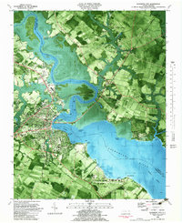
1982 Map of Elizabeth City
USGS Topo · Published 1983About this map
The Pasquotank River serves as the central artery for this coastal landscape, separating Elizabeth City from the rural crossroads of Camden County. This 1982 orthophotomap provides a clear view of the city's institutional footprint, showing the established grounds of Elizabeth City State University and the College Of The Albemarle alongside the U S Coast Guard Air Base at the southern edge. The city grid, defined by streets like Halstead Blvd and West Main St, transitions into a marshy riverine environment dotted with named points like Hospital Point and Cobb Point.
Find a feature on this map
72 named features on this map. Tap any name to fly to it.
Don’t see what you’re looking for? This feature index may not catch every label — zoom into the map to look around manually.
Map Details
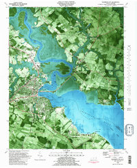
Editions of this 1982 Elizabeth City Map
2 editions found
Other maps of this area

1906 · Hertford
USGS Topo · 1:62,500

1940 · Hertford
USGS Topo · 1:62,500

1940 · Wade Point
USGS Topo · 1:62,500

1940 · South Mills
USGS Topo · 1:62,500

1943 · Wade Point
USGS Topo · 1:62,500

1948 · Wade Point
USGS Topo · 1:62,500

1948 · Elizabeth City
USGS Topo · 1:62,500

1952 · South Mills
USGS Topo · 1:62,500

1953 · Norfolk
USGS Topo · 1:250,000

1982 · Nixonton
USGS Topo · 1:24,000