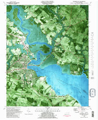
1982 Map of Elizabeth City
USGS Topo · Published 1983About this map
Elizabeth City dominates this 1980s orthophotomap, showing the developed waterfront where the Pasquotank River widens. This unique mapping style blends aerial photography with traditional topographic data, highlighting the precise footprint of Elizabeth City State University and the extensive U S Coast Guard Air Base south of the city. The landscape is a mix of urban grid and riparian wetlands, with the Intracoastal Waterway cutting through the river's channel.
Find a feature on this map
48 named features on this map. Tap any name to fly to it.
Don’t see what you’re looking for? This feature index may not catch every label — zoom into the map to look around manually.
Map Details
Editions of this 1982 Elizabeth City Map
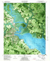
2 editions found
Other maps of this area

1906 · Hertford
USGS Topo · 1:62,500

1940 · Hertford
USGS Topo · 1:62,500

1940 · Wade Point
USGS Topo · 1:62,500

1940 · South Mills
USGS Topo · 1:62,500

1943 · Wade Point
USGS Topo · 1:62,500

1948 · Wade Point
USGS Topo · 1:62,500

1948 · Elizabeth City
USGS Topo · 1:62,500

1952 · South Mills
USGS Topo · 1:62,500

1953 · Norfolk
USGS Topo · 1:250,000

1982 · Nixonton
USGS Topo · 1:24,000