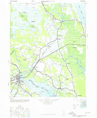
1985 Map of Elizabeth City
USGS Topo · Published 1985This historical map portrays the area of Elizabeth City in 1985, primarily covering Pasquotank County as well as portions of Chowan County, Perquimans County, Washington County, Gates County, Camden County, Currituck County, Hertford County, Bertie County, and Tyrrell County. Featuring a scale of 1:100000, this map provides a highly detailed snapshot of the terrain, roads, buildings, counties, and historical landmarks in the Elizabeth City region at the time. Published in 1985, it is one of 2 known editions of this map due to revisions or reprints.
Find a feature on this map
252 named features on this map. Tap any name to fly to it.
Don’t see what you’re looking for? This feature index may not catch every label — zoom into the map to look around manually.
Map Details
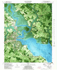
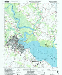
Editions of this 1985 Elizabeth City Map
2 editions found
Historical Maps of Mount Rose Through Time
4 maps found