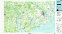
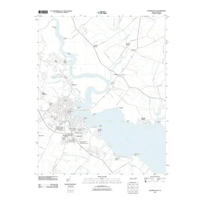
1985 Map of Elizabeth City
USGS Topo · Published 1990About this map
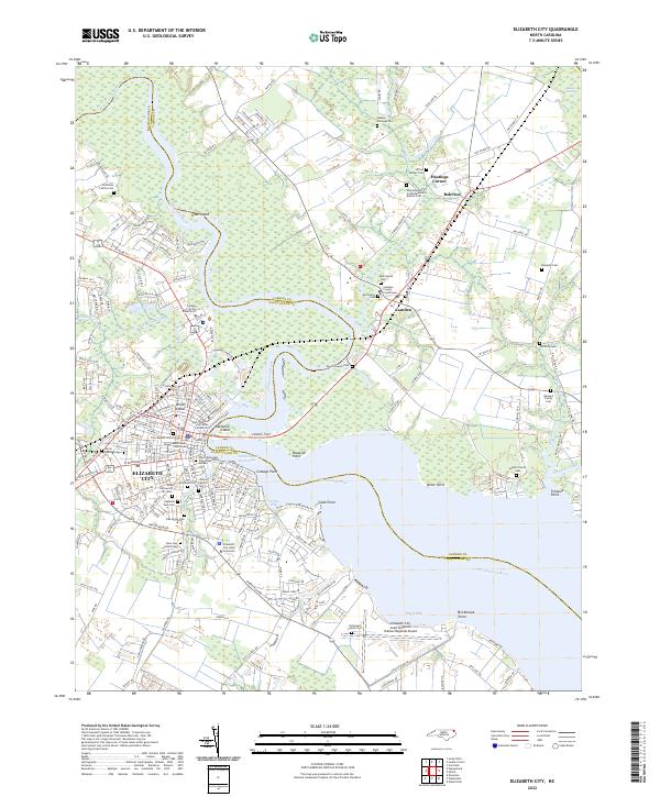
The Albemarle Sound and its complex network of feeding rivers dominate this coastal landscape, illustrating the critical role of water in North Carolina's northeastern geography. Major arteries such as the Chowan River, Pasquotank River, and Perquimans River define the boundaries of historic settlements like Elizabeth City and Edenton. To the north, the Great Dismal Swamp National Wildlife Refuge marks a massive expanse of protected wetlands stretching toward the Virginia border.
Find a feature on this map
268 named features on this map. Tap any name to fly to it.
Don’t see what you’re looking for? This feature index may not catch every label — zoom into the map to look around manually.
Map Details
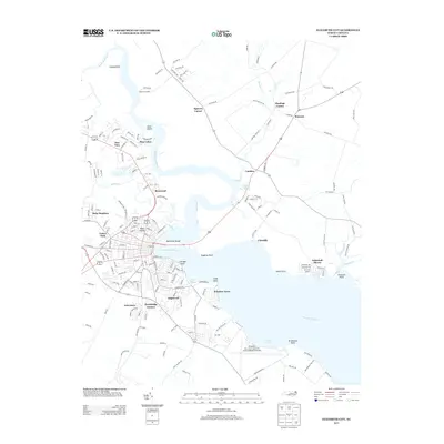
Editions of this 1985 Elizabeth City Map
2 editions found

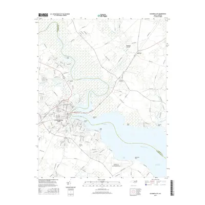
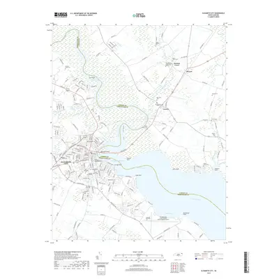
Historical Maps of Elizabeth City Through Time
9 maps found
1948 Elizabeth City
Pasquotank County, NC
1982 Elizabeth City
Pasquotank County, NC
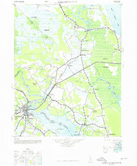
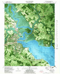
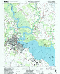
1985 Elizabeth City
Pasquotank County, NC
1997 Elizabeth City
Pasquotank County, NC
2010 Elizabeth City
Pasquotank County, NC
2013 Elizabeth City
Pasquotank County, NC
2016 Elizabeth City
Pasquotank County, NC
2019 Elizabeth City
Pasquotank County, NC
2022 Elizabeth City
Pasquotank County, NC