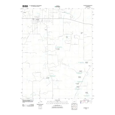
2010 Map of Elizabeth
USGS Topo · Published 2010About this map
Elizabeth serves as the primary hub of activity in this 2010 survey of Elbert County, situated along the upper reaches of Running Creek. The landscape is defined by its agricultural and ranching heritage, evidenced by numerous private airfields like the Circle 8 Ranch Airport and Dead Stick Ranch Airport, as well as named tracts such as McCart Ranch Road. Water management is a central theme of the terrain, with a network of flood control measures including the Richard Warne Flood Retention Reservoir and several numbered watershed reservoirs along Kiowa Creek.
Find a feature on this map
62 named features on this map. Tap any name to fly to it.
Don’t see what you’re looking for? This feature index may not catch every label — zoom into the map to look around manually.
Map Details
Editions of this 2010 Elizabeth Map
This is the sole edition of this map. No revisions or reprints were ever made.
Other maps of this area

1894 · Castle Rock
USGS Topo · 1:125,000

1913 · Castle Rock
USGS Topo · 1:125,000

1939 · Elizabeth
USGS Topo · 1:62,500

1940 · Elbert
USGS Topo · 1:62,500

1944 · Elbert
USGS Topo · 1:62,500

1945 · Elizabeth
USGS Topo · 1:62,500

1953 · Denver
USGS Topo · 1:250,000

1954 · Cherry Valley School
USGS Topo · 1:24,000

1957 · Denver
USGS Topo · 1:250,000

1958 · Denver
USGS Topo · 1:250,000