
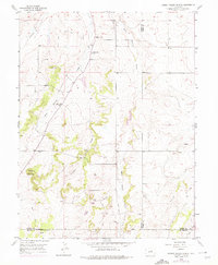
1954 Map of Cherry Valley School
USGS Topo · Published 1955About this map
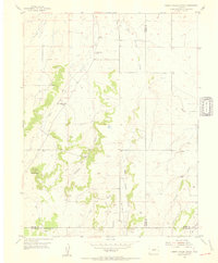
Cherry Valley School serves as the focal point for this rural landscape at the intersection of Douglas and Elbert counties in the mid-1950s. The terrain is defined by a dendritic network of drainages, including West Cherry Creek, East Cherry Creek, and Crowfoot Creek, which carve through the high plains. A clear shift in the local educational infrastructure is evident, with the active schoolhouse standing in contrast to the older Cherry Sch (Aband) and Pine Grove Sch (Aband), reflecting the consolidation of rural districts during this era.
Find a feature on this map
19 named features on this map. Tap any name to fly to it.
Don’t see what you’re looking for? This feature index may not catch every label — zoom into the map to look around manually.
Map Details
Editions of this 1954 Cherry Valley School Map
6 editions found
Other maps of this area

1894 · Castle Rock
USGS Topo · 1:125,000

1913 · Castle Rock
USGS Topo · 1:125,000

1939 · Elizabeth
USGS Topo · 1:62,500

1940 · Elbert
USGS Topo · 1:62,500

1940 · Castle Rock
USGS Topo · 1:62,500

1944 · Elbert
USGS Topo · 1:62,500

1945 · Castle Rock
USGS Topo · 1:62,500

1945 · Elizabeth
USGS Topo · 1:62,500

1953 · Denver
USGS Topo · 1:250,000
1954 · Monument
USGS Topo · 1:24,000