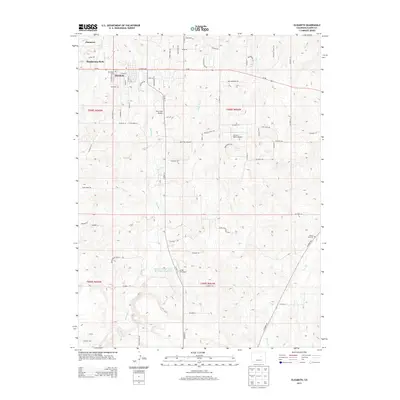
2013 Map of Elizabeth
USGS Topo · Published 2013About this map
Elizabeth sits at the northern end of this Elbert County landscape, where the town's grid meets the branching drainages of the High Plains. The terrain is defined by the parallel paths of Running Cr and Kiowa Cr, which flow northward through a series of ridges and draws. This 2013 survey illustrates a transition from the compact settlement of Elizabeth and the neighboring residential pocket of Ponderosa Park into a ranching and private aviation landscape. The presence of multiple small landing strips, including Pine View Airport, Dietrichs Airport, and the Circle 8 Ranch Airport, points to a distinct pattern of land use where private flight and large rural parcels intersect. Infrastructure for water management is evident at the Richard Warne Flood Retention Reservoir, while local heritage is anchored by the Elizabeth Cem and the Kiowa Old Cem located on the eastern edge of the quadrangle.
Find a feature on this map
73 named features on this map. Tap any name to fly to it.
Don’t see what you’re looking for? This feature index may not catch every label — zoom into the map to look around manually.
Map Details
Editions of this 2013 Elizabeth Map
This is the sole edition of this map. No revisions or reprints were ever made.
Other maps of this area

1894 · Castle Rock
USGS Topo · 1:125,000

1913 · Castle Rock
USGS Topo · 1:125,000

1939 · Elizabeth
USGS Topo · 1:62,500

1940 · Elbert
USGS Topo · 1:62,500

1944 · Elbert
USGS Topo · 1:62,500

1945 · Elizabeth
USGS Topo · 1:62,500

1953 · Denver
USGS Topo · 1:250,000

1954 · Cherry Valley School
USGS Topo · 1:24,000

1957 · Denver
USGS Topo · 1:250,000

1958 · Denver
USGS Topo · 1:250,000