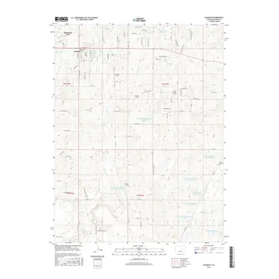
2016 Map of Elizabeth
USGS Topo · Published 2016About this map
Elizabeth sits as a primary settlement in this section of Elbert County, characterized by a transition from organized town streets to a landscape defined by rolling drainages and private aviation. The area is heavily marked by water management infrastructure, including the Russell Number 1 Reservoir and numerous components of the Kiowa Creek Watershed system, reflecting the importance of flood control and water storage in this semi-arid high plains environment.
Find a feature on this map
89 named features on this map. Tap any name to fly to it.
Don’t see what you’re looking for? This feature index may not catch every label — zoom into the map to look around manually.
Map Details
Editions of this 2016 Elizabeth Map
This is the sole edition of this map. No revisions or reprints were ever made.
Other maps of this area

1894 · Castle Rock
USGS Topo · 1:125,000

1913 · Castle Rock
USGS Topo · 1:125,000

1939 · Elizabeth
USGS Topo · 1:62,500

1940 · Elbert
USGS Topo · 1:62,500

1944 · Elbert
USGS Topo · 1:62,500

1945 · Elizabeth
USGS Topo · 1:62,500

1953 · Denver
USGS Topo · 1:250,000

1954 · Cherry Valley School
USGS Topo · 1:24,000

1957 · Denver
USGS Topo · 1:250,000

1958 · Denver
USGS Topo · 1:250,000